In my previous post, I talked about the incredible feat of mapping the mountains and canyons hidden beneath Antarctica’s ice. But as I learned during Dr. Peter Fretwell’s presentation, some of the most vital work the British Antarctic Survey (BAS) carries out, involves looking at what is happening right on the surface.
While the bedrock mapping tells us how the ice might move, Dr. Fretwell’s “Wildlife From Space” project tells us how the animals are coping. And it all starts with something rather unexpected: penguin poop.
The “Aha!” Moment
Dr. Fretwell shared a brilliant story about how this research began. He wasn’t actually looking for penguins; he was a cartographer mapping the coastline for pilots. In 2009, while looking at satellite images, he noticed a reddish-brown “stain” on the pristine white ice.
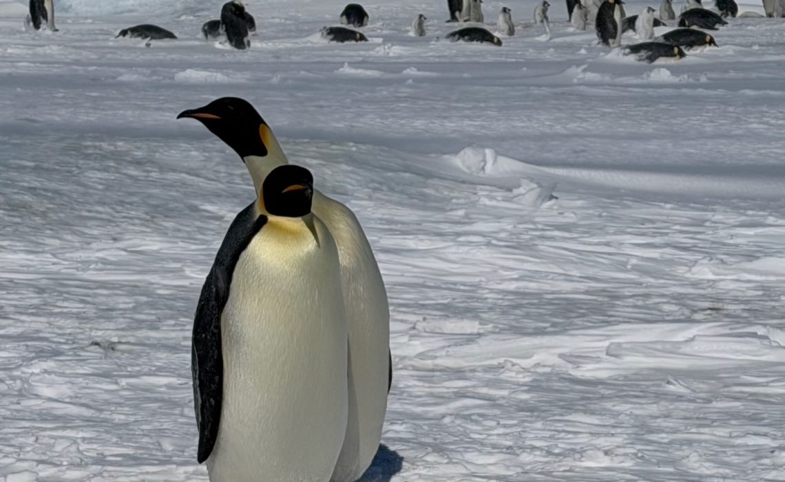
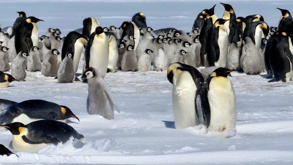
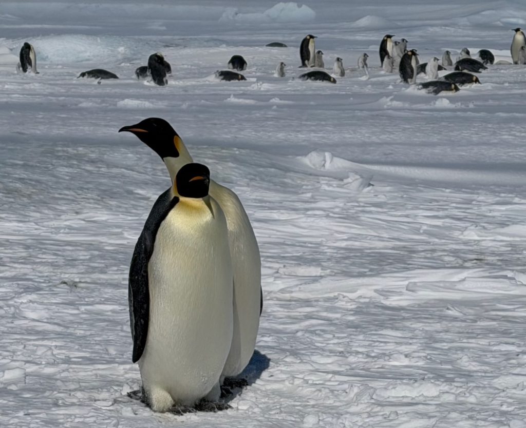
It wasn’t a glitch in the camera. It was guano (the scientific term for penguin droppings). Because Emperor Penguins stay in the same spot for months to breed, their waste accumulates, creating a brown patch so large it can be seen from space. This fortuitous discovery changed everything. Before this, we only knew of about 38 colonies; today, thanks to satellite “detective work,” 66 colonies have been identified across the continent.
How to Count a Huddle from Orbit
Because Emperor Penguins huddle together to survive the -50°C winters, they often look like one big black mass. To get an accurate count, Dr. Fretwell’s team uses AI and machine learning algorithms to help them. By measuring the total area of the huddle and multiplying it by the known density of penguins – how many birds fit into a square meter – they can estimate the population of an entire colony without ever stepping foot on the ice.
Tracking penguins from space is a two-step process that sounds like something out of a spy movie:
- The Scout (Sentinel-2): Scientists use medium-resolution satellites like the European Space Agency’s Sentinel-2. These satellites scan the coastline looking for those tell-tale brown stains.
- The Zoom (Maxar WorldView): Once a stain is found, they “task” high-resolution commercial satellites to take a closer look. These images are so sharp – up to 30cm resolution – that you can actually see individual penguins as tiny black dots.
Why This Matters Right Now
This technology isn’t just a “cool” way to count birds; it’s a vital early warning system. As I mentioned in the my earlier blog, Emperor Penguins are “goldilocks” birds – they need the sea ice to be ‘just right‘ for the colonies breeding to be successful.
Dr. Fretwell’s recent satellite data has revealed a worrying trend. Because the satellites take pictures every few days, the team can see exactly when the ice breaks up. In recent years, they have watched in real-time as sea ice disintegrated before the penguin chicks were ready to swim.
And it’s not just the chicks that are suffering. For years scientists haven’t been able to work out where the penguins migrate to for their annual moult. Their recent studies though show, for the first time, where the birds are. The results show that the increasing early ice melt is forcing the penguins together into larger groups, on the remaining shrinking sea ice. During 2022 to 2024 Antarctica’s sea ice and fast ice was at a record low. The fear is, despite an improvement in 2025, only a small number of these penguin groups have been spotted – 25 instead of the previous 100. Its incredibly worrying but read the full report from BAS HERE
This “space-based” monitoring is the only way we can track the health of these remote colonies, many of which are hundreds of miles from the nearest human research station.
Every Click Counts: Fueling a Greener Future, One Story at a Time. Our planet whispers a plea for change, every day. Every small step we take – from reusable bags to conscious consumption – ripples outwards, creating a wave of hope. Let’s rewrite the story of our planet, one click at a time. Join me in making a difference. I believe in the power of storytelling. By sharing inspiring environmental initiatives and practical tips, I aim to amplify the voices making a difference. Imagine a world where everyone is empowered to take action, one small change at a time. Together, we can create that reality. Your support is more than just a donation. By clicking the “Donate” button (top right corner), you become a partner in this mission. Your contribution fuels this platform, allowing me to share even more impactful stories and empower a global community.
Beyond the Penguins
The success of the penguin project has led to the expansion of the Wildlife From Space group. They are now using similar “spectral signatures” to track:
- Whales: Spotting the white “flukes” and splashes of whales in the dark blue ocean.
- Walruses: Finding herds huddled on Arctic beaches.
- Albatrosses: Even counting these massive birds on remote islands where they nest.
Hearing Dr. Fretwell speak, you realise the importance of this discovery. We are no longer just guessing how wildlife is reacting to climate change; we are watching it happen, pixel by pixel.
References & Further Reading
- Fretwell, P. T., & Trathan, P. N. (2009). “Penguins from space: faecal stains reveal the location of new emperor penguin colonies.” Global Ecology and Biogeography.
- Fretwell, P. T., et al. (2024). “Four new emperor penguin colonies found by satellite.” Antarctic Science.
- British Antarctic Survey. Wildlife from Space Project Overview